
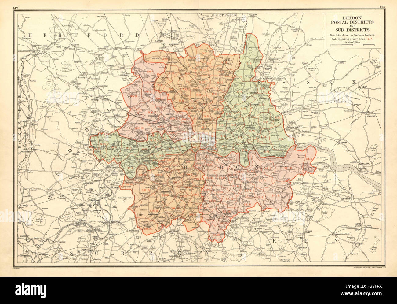

Product code: London Postal Districts - Original store large 1929 London map
This is an original antique map, not a reproduction or a copy.
Source: Bacon's Atlas of London and Suburbs 1929
Beautifully detailed map of London. Measures approx 19 x 13.5 inches.
Comes with a loose cardboard backing with details written on the back, and a cello bag for protection store.
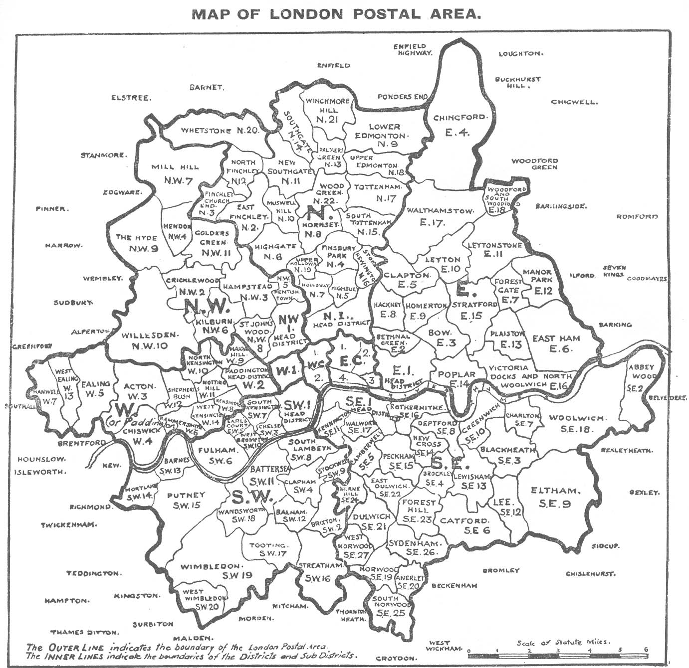
Please note that due to its age there may be some foxing or markings, so look at the pictures as they form part of the description.